Thanks to our telematics systems, we know when an accident occurs. The built-in GPS module provides the exact position and the crash sensors tell us what forces have affected the driver and vehicle. The normal procedure at the operations centre is to contact the occupants using the telephone numbers they have been given and ask for details of the situation: if someone is injured, help is needed, etc. If no one answers the phone, the best trained call agents act at their own discretion. From the accident data, i.e. the intensity of the impact, the position and the time of day, the professional forms a picture of the situation and then acts accordingly. For example, a minor accident in the afternoon in the middle of the city is treated differently from a severe impact at night in rural areas.
But sometimes it is not so easy to make the right decision. For example, on a motorway service area, a light collision occurs at low speed and shortly afterwards the emergency button in the vehicle is pressed. However, nobody can be reached and the vehicle no longer moves. The collision was so light that there is a very high probability that no personal injury has occurred, but a residual risk remains. Namely that the driver needs medical help due to a weakness attack or even a heart attack. So what to do? In such situations, the worst possible case is always assumed and the ambulance is notified. However, if it was a false alarm and the emergency services had to go out for nothing, the costs can be high in some cases.
1000 Drones for Austria

The technical challenge is to define a map with areas where drones are allowed to fly. There must be no built-up areas within these corridors, and obstacles such as power pylons, wind turbines, etc. must also be planned. The next step is to identify the right drone. This has to do not only with the proximity to the accident site, but also with the question whether the nearest aircraft has full batteries and the appropriate equipment. Because especially in undeveloped areas there is no lighting and at night a drone with an appropriate optical system would be useful. Finally, the task is to calculate a flight route, send it to the drone and broadcast the video recordings as live as possible. Instead of training the staff of the operations centre to become drone pilots and exposing them to the risk of causing damage to people or property through operating errors, we use machine learning and artificial intelligence (AI). Ideally, the call agent simply presses a button on his screen and uses it to start a drone flight to the scene of the accident. If desired, the device can remain on site until the situation is clarified or until the batteries are empty.
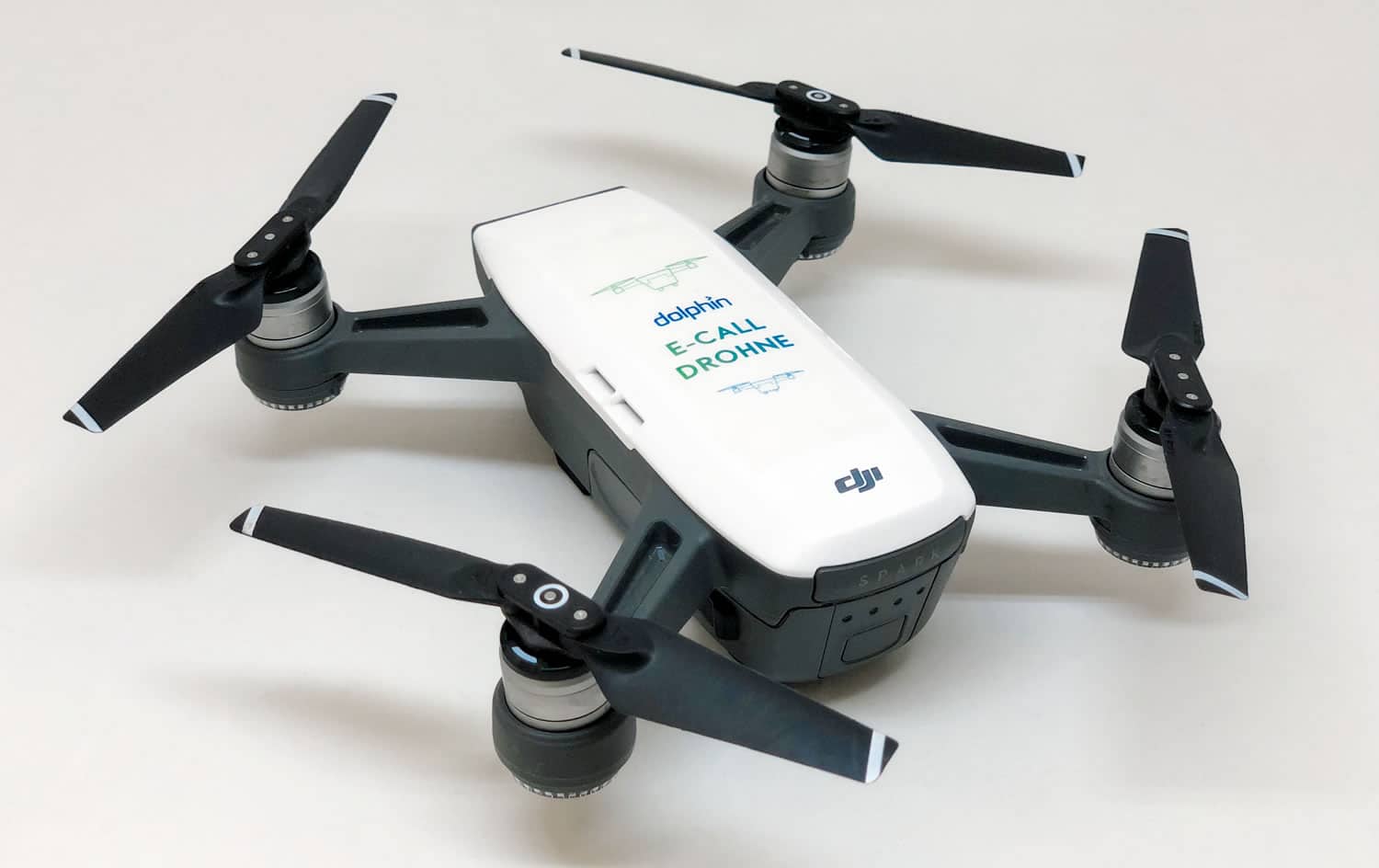
We are currently testing the process chain with civilian drones for private use, in our case the DJI Spark. With a maximum battery life of 16 minutes and a maximum speed of about 50 km/h, it is not suitable for real use, but absolutely sufficient for test operation. In any case, our objective is to further optimize the analysis of accidents and to exhaust all technical and intellectual possibilities in order to achieve this.